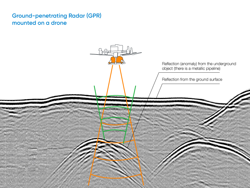
Additionally, NHD also offers a payload featuring Ground Penetrating Radar (GPR). Drone-based GPR enables mapping of glaciers, buried pipelines, and subsurface voids without ground contact. Its low-altitude, terrain-following capability ensures accurate profiles across ice, sand, soil, and shallow water. Integrated with SkyHub and UgCS, UAV GPR surveys maintain a constant altitude for repeatable, centimeter-precise, geo-referenced results.
Field-Proven Applications of Drone-Based GPR Systems


GPR Zond Aero 500 “NG”


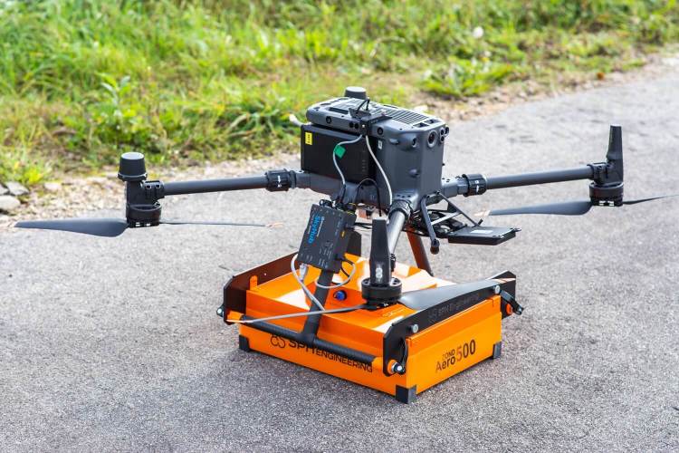
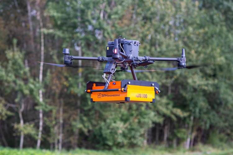
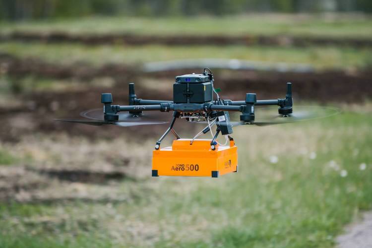
The Zond Aero 500 “NG” is an innovative ground-penetrating radar (GPR) system designed to work seamlessly with drones, bringing efficiency, accuracy, and safety to subsurface exploration. From identifying underground utilities to conducting archaeological surveys, this system ensures optimal results while saving time and resources.
Achieving High-Resolution Underground Water Pipe Detection with Airborne GPR Integrated System
Ground-penetrating radar (GPR) has long been a highly accurate and effective method for detecting subsurface utilities. Studies from both controlled experiments, and field applications, show that GPR is increasingly recognized as a valuable geophysical technique for non-destructive, high-resolution exploration.
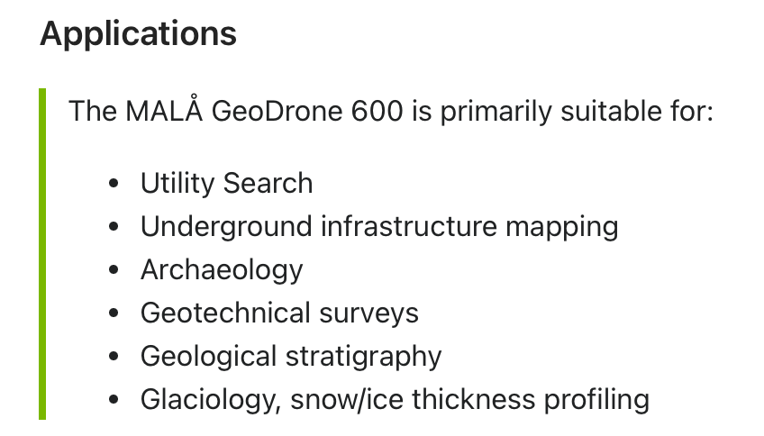
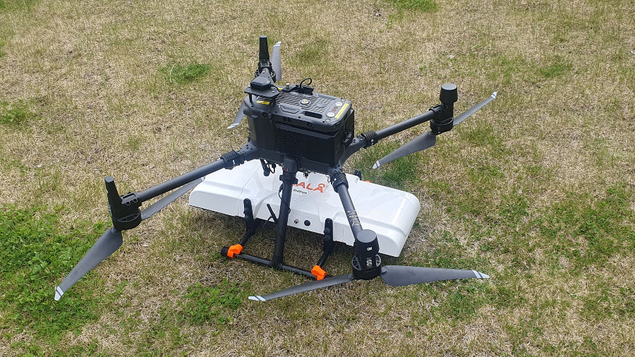
GPR system: MALÅ GeoDrone 600