6 Key Advantages of Thermal Drones
Thermal drones provide industries like agriculture, construction, and emergency response with unparalleled visibility by detecting heat signatures, improving efficiency, safety, and decision-making. From spotting structural weaknesses in buildings to locating missing persons in search-and-rescue missions, discover the many benefits these drones can provide you and your business.
Thermal Imaging Capability
Thermal cameras on these drones detect infrared radiation, allowing users to visualize temperature variations and heat signatures in the environment.
Enhanced Vision
Thermal drones enable users to see in low-light conditions and through obscurants like smoke, fog, and dust, making them ideal for nighttime operations and challenging environments.
Improved Safety & Efficiency
Thermal drones can be used for remote inspections, reducing the need for manual inspections in hazardous or hard-to-reach areas. This enhances safety and saves time, resources, and labor costs.
Real-time Data Collection
Thermal drones provide real-time visualizations of thermal data, enabling immediate analysis and decision-making.
Integration with Mapping & GIS
Thermal drone data can be integrated with mapping and GIS technologies, providing valuable geospatial information for analysis and planning.
Flexibility and Mobility
Thermal drones are typically compact, portable, and easy to deploy, making them highly flexible for various applications.
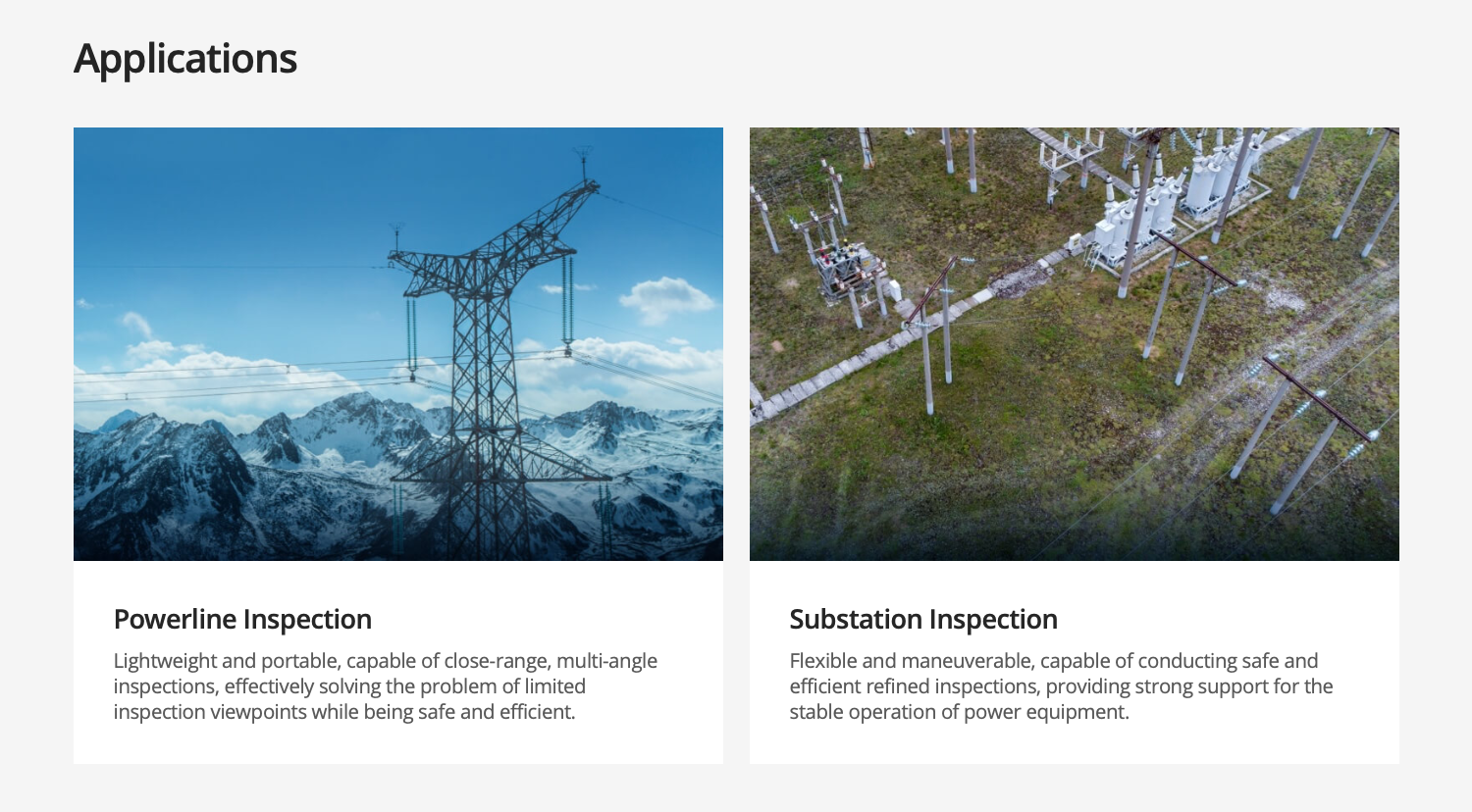
Electricity
Manage electrical grids and plants with drone solutions.
Monitor construction, conduct inspections and maintenance with ease.
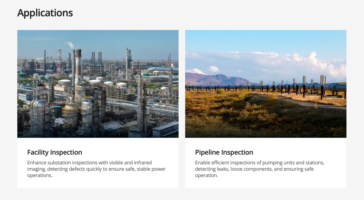
Oil & Gas
Revolutionizing the oil and gas industry by enhancing efficiency in management, inspection, and construction, while reducing costs and driving technological innovation.
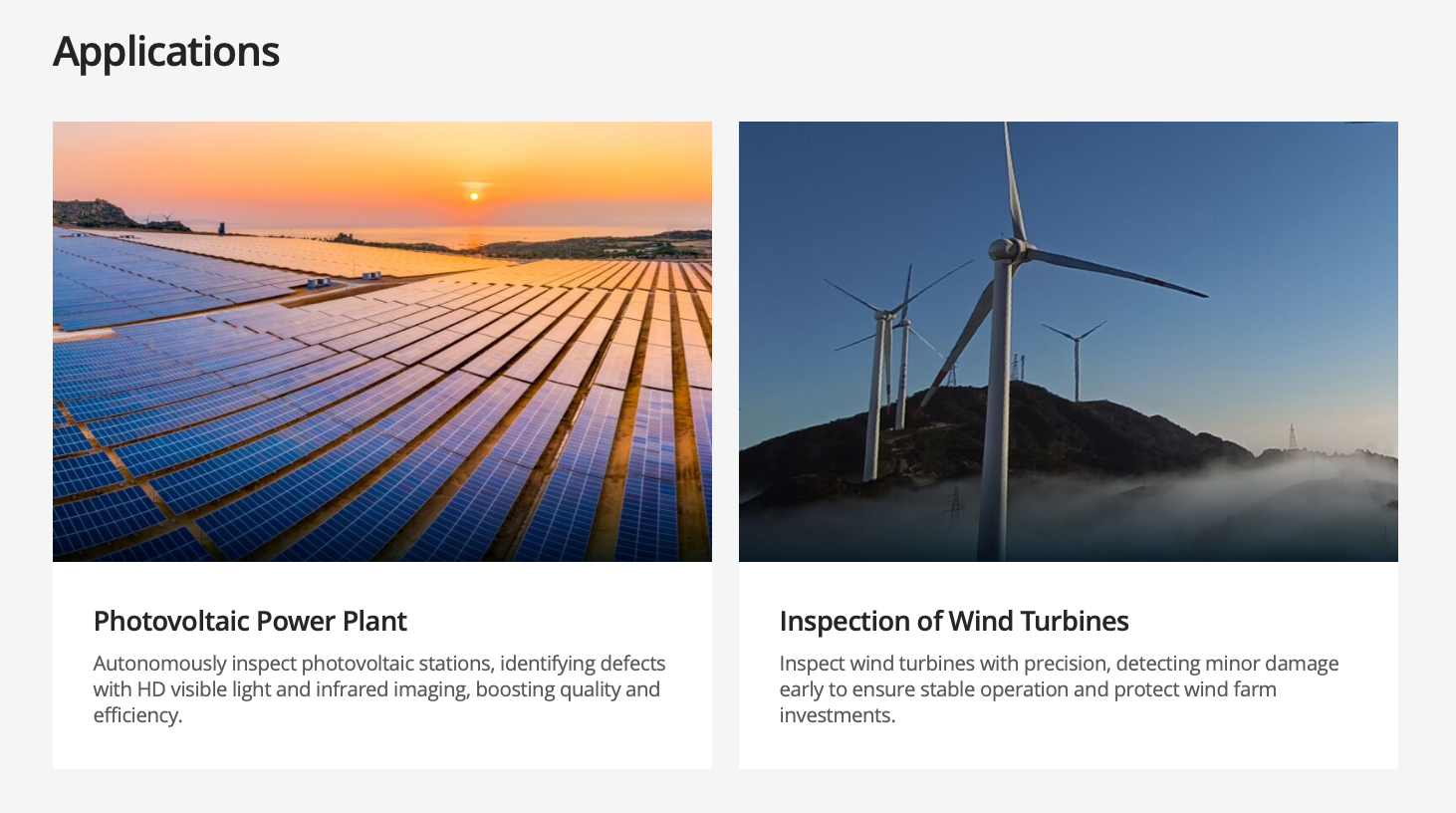
Renewables
Flexible and mobile, capable of automatically inspecting along flight paths, effectively ensuring personnel safety and increasing power generation revenue.
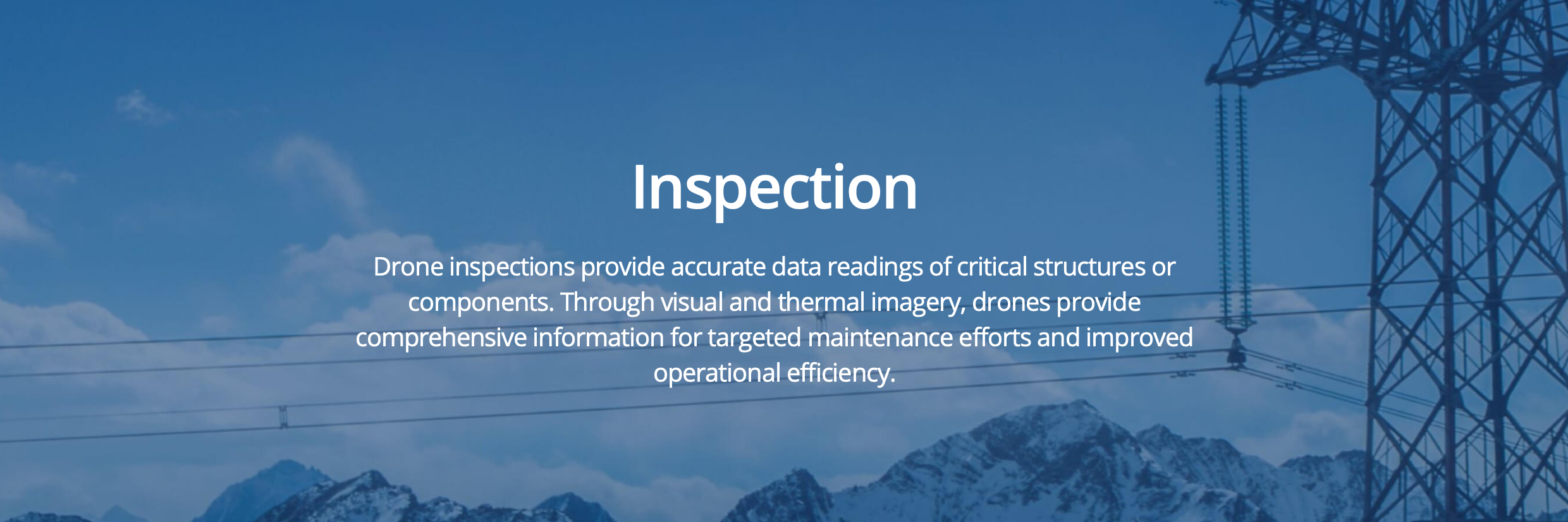
Infrastructure
Optimize infrastructure inspection and maintenance work with accurate aerial inpections. Digitized records and efficiently track the condition of buildings and roofs through visual and thermal data capture and analysis.
Search and Rescue
Swiftly aid search and rescue missions by covering extensive and difficult-to-navigate landscapes, utilizing aerial thermal imaging to pinpoint the whereabouts of lost individuals.